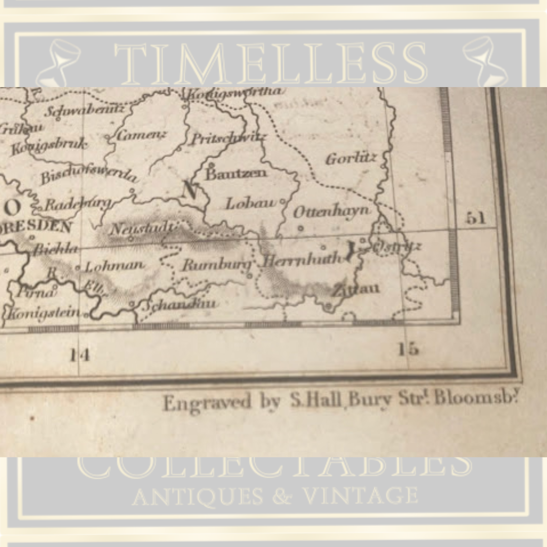
Antique Original Steel-Engraved German Black’s General Atlas Map 1 - 2
Antique Original Steel-Engraved German Black’s General Atlas Map 1 - 2
An original steel-engraved map from Black's General Atlas, both Part I and Part II intact published by the respected Edinburgh cartographic firm Adam & Charles Black. This antique engraving depicts Germany (Part I), capturing the northwestern and central territories of the historic German Confederation—including Hanover, Oldenburg, and Bremen—as defined following the Congress of Vienna. Part II sheet covers the southern and eastern principalities of the historic German Confederation (including areas like Bavaria, Würtemberg, and Bohemia)Engraved by the distinguished Sidney Hall (and later by his widow Selina Hall), this map exemplifies 19th-century British cartographic excellence. Hall was renowned for his masterful use of steel plates, which allowed for exceptionally fine, precise linework and durability. The plate number CCLXIV (264) marked at the top confirms its specific position within Black's comprehensive multi-volume atlas sets. Dating to the 1840s–1850s (with pencil notation suggesting circa 1842), this map represents the pinnacle of British atlas production during that era. Black's atlases were published in multiple editions throughout this period, most notably in 1844, 1846, and 1851, establishing them as essential references for geographers and collectors alike. A striking example of historical cartography and fine engraving craft, suitable for display or scholarly collection.
Couldn't load pickup availability